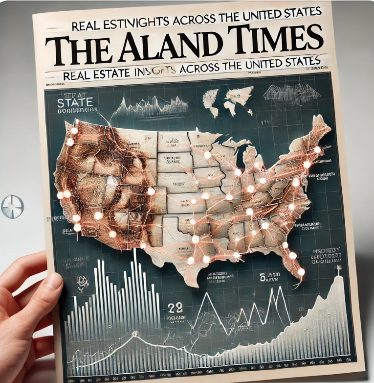
Map of the United States Geography and Real Estate Investment | ALand
- Published Date: 9th Oct, 2024
-
4.6★ ★ ★ ★ ★(150)

The map of the United States is not just a visual tool for locating states, cities, and landmarks—it’s a gateway to understanding the country’s diverse geography, culture, and opportunities. From the bustling urban centers of New York and Los Angeles to the quiet plains of the Midwest, the U.S. map reveals key insights into the nation’s economic growth, land use, and investment opportunities.
In this article, we’ll dive into the importance of the United States map and how it plays a crucial role for travelers, investors, and real estate enthusiasts. We’ll also explore how ALand can help you navigate real estate investments across the U.S., connecting the geographical insights of the country with powerful investment tools.
Why the Map of the United States Is More Than Just Geography
A map of the United States is an indispensable tool that helps people visualize and understand the geographical layout of the country. With 50 states, each offering its own unique economy, resources, and lifestyle, the map reveals much more than just borders—it helps in analyzing investment opportunities, population density, and areas with potential economic growth.
Whether you’re looking to invest in property, plan a trip, or expand your business, understanding the U.S. through its map allows you to make informed decisions. With resources like the United States Satellite Image available on Geology.com, you get a clearer view of everything from major highways to rural areas, making it easier to identify areas of growth or interest.
How Geography Impacts Real Estate and Investment
The United States map isn’t just about locating places—it’s about identifying where the best real estate opportunities lie. Whether it’s prime residential properties on the coasts or commercial real estate opportunities in booming cities, geographical understanding helps investors pinpoint areas of high value. For instance:
- Urban Centers: Cities like New York, Los Angeles, and Chicago are hubs for investment due to their large populations, business opportunities, and infrastructure.
- Suburban Growth: As more people move out of major cities, suburban areas around cities like Austin, Denver, and Nashville are becoming hot spots for real estate investments.
- Rural Expansion: Investors are also turning to rural areas, especially as remote work becomes more prevalent, making regions like Montana and Wyoming attractive for land investments.
Using the U.S. Map for Investment Insights with ALand
Understanding the map of the U.S. is essential when it comes to making informed real estate investments. This is where ALand comes in. With ALand, investors have access to a platform that not only provides detailed insights into available properties but also connects these opportunities with broader economic trends that can be visualized through a geographical lens.
For example, ALand offers detailed data on:
- Property Trends: By analyzing areas with growing populations and business activity, investors can use geographical data to make smarter investment decisions.
- Economic Zones: ALand allows you to explore free zones, tax incentives, and other economic drivers that vary across U.S. states and regions, helping you maximize return on investment.
- Infrastructure and Accessibility: Using maps to identify transportation networks, proximity to airports, or even high-speed internet access can greatly influence investment decisions, especially in real estate.
Connecting the United States Map to Real Estate and Global Investments
A well-detailed map of the United States allows you to visualize more than just locations—it reveals regions of economic potential, demographic growth, and infrastructure development. With ALand, you can take this geographical knowledge and apply it to real estate investments, whether you're looking for commercial properties in bustling cities, residential homes in emerging suburban areas, or even agricultural land in rural states.
How ALand Can Help:
- Real-Time Data: ALand integrates geographical insights with up-to-date data on property values, market trends, and growth potential across all 50 states.
- Global Reach: By connecting investors from around the world with U.S. property opportunities, ALand offers a global perspective on real estate investments.
- Interactive Tools: Use ALand’s platform to overlay data such as property prices, economic growth, and regional development on the U.S. map to make smarter investment choices.
Explore U.S. Real Estate with ALand and the Power of Geography
The map of the United States is your guide to exploring the vast economic opportunities available across the country. By combining geographical data with ALand’s real estate platform, you gain a powerful tool to make smarter, more informed decisions. Whether you’re looking to invest in booming metropolitan areas, quiet suburbs, or expansive rural lands, ALand is your trusted partner in navigating the real estate landscape.
The United States map is more than just a tool for locating states—it’s a key resource for identifying real estate and investment opportunities across the nation. With platforms like ALand and the insights provided by U.S. satellite imagery, you can navigate your way to successful investments, making informed decisions grounded in geographical and economic realities.
Visit ALand today to explore U.S. properties and unlock your real estate potential!

